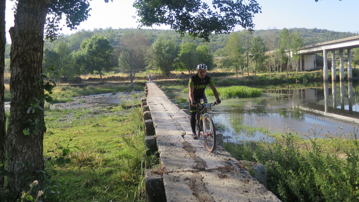
This trail starts in the village of Quinta Nova. The GRVC can be accessed along an unmarked detour (1.8 km). The trail descends through abandoned farming areas towards the banks of the river Côa. The route runs along the left bank of the Côa River until reaching the mouth of the Cabras stream, which can be crossed in spring and summer. After this, the trail climbs the slope towards Qta. Da Cotovia, crossing large farming and forested areas until it reaches the village of Azêvo. The village can be accessed along an unmarked detour. The GRVC follows the hillside along walled roads and footpaths, with the Côa at the bottom of a steep valley, passing through Faia. The route continues through estates and large rocky areas before reaching the village of Cidadelhe. The GRVC crosses the village and descends towards the river Côa, first on footpaths and then on a road, as far as Ponte da União. The next section climbs along a road as far as the entrance to the Faia Brava Reserve.
From here onwards the trail runs along forest tracks and footpaths, crossing large areas of cork and holm oaks, interspersed with olive groves and pastures. The trail passes close to a century-old cork oak and it is also possible to spot the vertical cliffs of the Côa valley. The GRVC finally turns away from the Côa river and runs through olive and almond groves and vineyards before arriving at the village of Algodres. The GRVC crosses the village and continues through pastures and forested and wooded areas, passing the Olga Grande archaeological site. The trail crosses the road and arrives at the village of Almendra, through olive groves and vineyards. It crosses the village of Almendra from south to north, passing the church before entering an area of olive trees and vineyards, heading towards the village of Castelo Melhor, before skirting around the right hand side of the castle. The trail follows walled roads among olive groves and vineyards. It is possible to access the São Gabriel chapel on an unmarked detour, from where panoramic views of the entire Côa river valley can be enjoyed. Follow the Orgal MTB/Equestrian detour of the GRVC. The trail continues towards the north through areas of pasture land and old farming areas, passing through the village of Orval. The GRVC crosses the road bridge (EN222). Continue along the Côa Museum MTB/Equestrian detour. After reaching the top of the slope, the route follows the road as far as the Côa Museum.


