SERRA d'AIRE E CANDEEIROS NATURAL PARK
The Serra d’Aire e Candeeiros Natural Park is distinctive for its limestone nature, a decisive factor in its classification in 1979. Allied to the underground water network, it is this rocky characteristic that has influenced all the morphology, fauna, flora and human occupation of this territory.
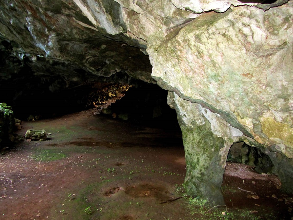
This limestone massif is composed of Serra dos Candeeiros, Serra de Aire and the Santo António Plateau, located between the Mendiga-Alvados and Mira de Aire-Minde valleys. Karstic erosion, i.e. of the limestone, caused by the water gives rise to characteristic formations, such as poljes, fields of clints, caverns and chasms, uvalas and dolines, making it an ideal destination for geologists and cavers. Of particular interest is the fact that this Natural Park is the location of the largest and most famous caves in Portugal - the Grutas de Mira d’Aire, which extend for 11 kilometres, 600 metres of which may be visited.
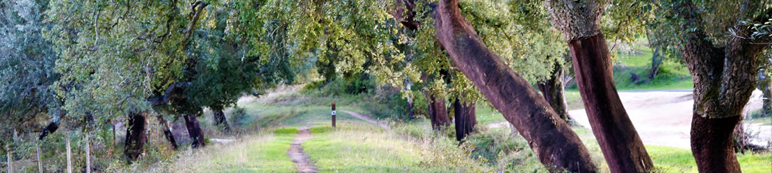
Moreover, the absence of water resources on the surface make the landscape dry, but provides a surprising spectacle of faults, escarpments and rocky outcrops, which contrast with the smallness of human scale.
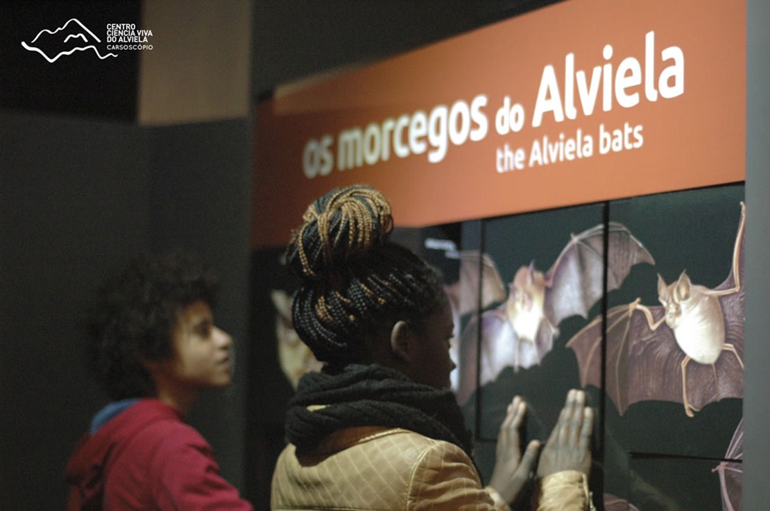
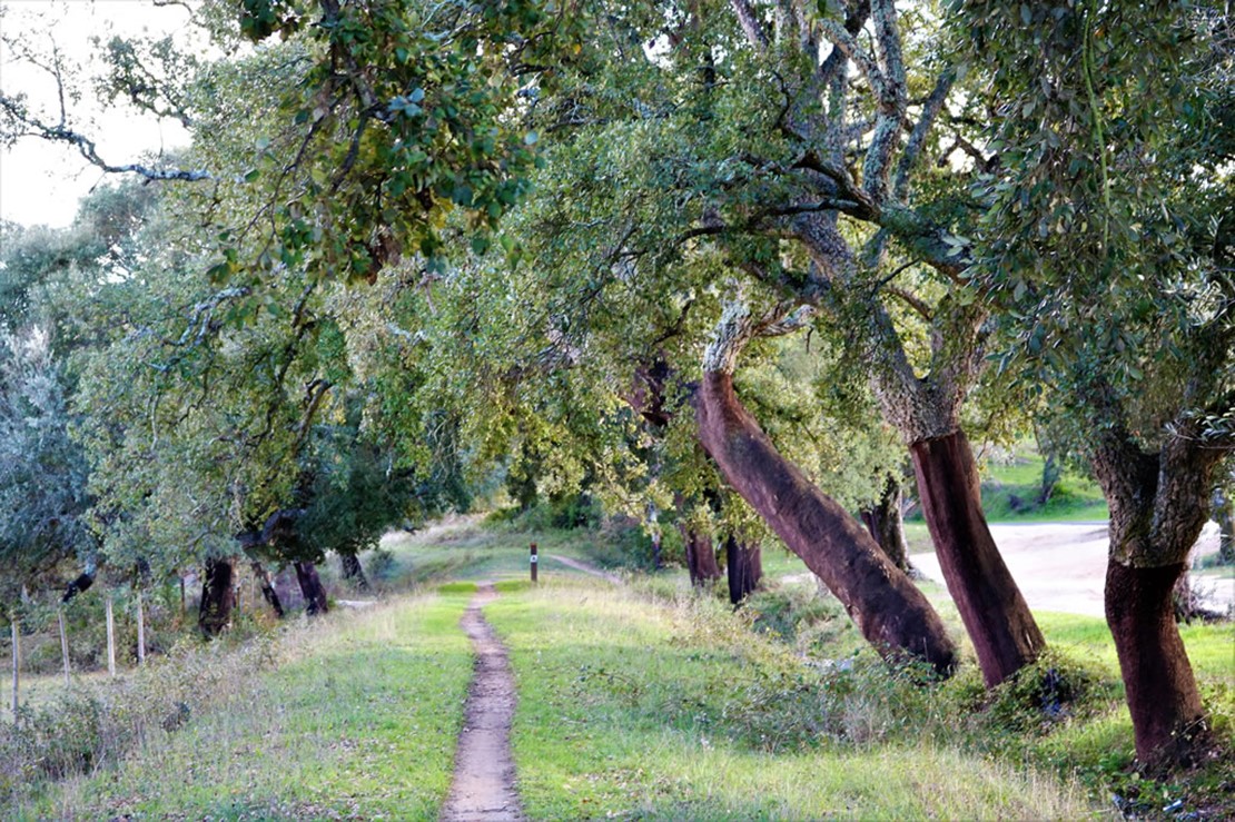
Therefore, it is not surprising that we find in the vegetation cover of this Classified Area, essentially the Portuguese oak (Quercus faginea) and, occasionally, the holm oak (Quercus rotundifolia), as well as aromatic, medicinal and honey plants. The European olive (Olea europaea) is the most visible human crop. The cave habitats, on the other hand, give shelter to a number of birds, such as the red-billed chough (Pyrrhocorax pyrrhocorax), which nests at these sites, but evidence of bats in this Natural Park can be clearly seen, with eighteen different species identified.
Finally, it is important to highlight the presence of a 175-million-year-old Jurassic fossil record, located in the Serra de Aire, where it is possible to visit the longest trail of sauropod dinosaur footprints in the world, which is classified as a Natural Monument.
