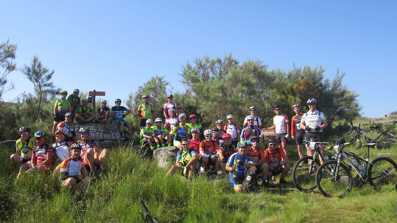
The stage begins in Fóios, next to the source of the Côa, in the Serra das Mesas. This part of the GRVC route partly coincides with the Pequena Rota Nascente do Côa route (PR3 SBG). From Fóios, the trail travels along the left bank of the river, flanked by woods, marshes and pastures.
After the ascent to Cruz Alta, the descent to Vale de Espinho allows various mills to be visited, including Azenha do Peça, a place of crossing of the river, and Moinho do Engenho. The trail between Vale de Espinho and Quadrazais travels along the right bank of the Côa river to the Moinho do Rato, where we cross the river by means of the pedestrian pontoon and then round Cabeço do Colmeal and Alto da Vinha. Detour to the village of Quadrazais. The trail climbs through hills and woods of the Serra da Malcata Nature Reserve, up to Alto da Machoca, a place with prime views over the Côa and the city of Sabugal.
The route follows the left bank of the Sabugal dam. Before arrival at the Sabugal, the river beach is accessible, and visits can be made to the Moinho do Zé Ricardo. The stage crosses the town of Sabugal and there are crossing points with the Grande Rota das Aldeias Históricas - GR22. The trail coincides with the Pequena Rota Meandros do Côa walking trail (PR1 SBG) and trails 3, 4 and 5 of the Sabugal Mountain Biking Centre.
After finishing the detour, the trail now passes Rendo, crossing the river next to the Moinho do Delfim and following the left bank, through marshes and pastures, to Quinta dos Moinhos. Here the road again crosses the Côa river, and passes through farms, hills and woods, until the village of Rapoula do Côa comes into view. After crossing the village of Rapoula do Côa, reaching the GRVC, the trail continues along the left bank of the Côa, crossing agricultural tracks to Ínsua.
It is possible to access the village of Vale das Éguas by means of an unmarked detour (2.1 km) and the river beach of Vale das Éguas (700 m). The GRVC continues through woods and meadows to the Ribeira do Boi, which can be crossed during the spring, summer and part of the autumn. After crossing the Ribeira do Boi river, the GRVC climbs along agricultural tracks to the village of Seixo do Côa, descending again by road to the Côa river and the Seixo do Côa river beach. After crossing Valongo do Côa, follow the road to the Ponte de Sequeiros bridge.
After crossing the Ponte de Sequeiros, there is an unmarked detour that allows access to Cerdeira do Côa. The GRVC continues along the left bank of the Côa until the road and the Ponte José Luís bridge. After, there is an unmarked detour that allows access to the village of Miuzela and the river beach of Badamalos. The end of the stage consists of crossing the Ponte José Luís bridge and ascending to Vilar Maior by road and agricultural tracks, also passing through the village of Badamalos, via an unmarked detour (4.4 km).


