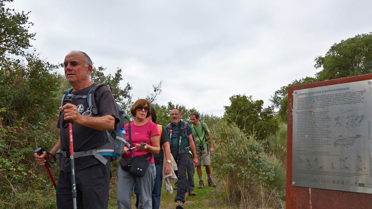
This trail starts in the village of Castelo Mendo. The descent towards the GRVC follows farm and forest tracks, on an unmarked trail (1.7 km). After joining the GRVC, the trail continues along the hillside with Côa down below, on the right hand side of the trail. This section partly runs alongside the road, as far as the chapel of São Roque. In this area there is an unmarked detour providing access to the village of Castelo Bom (2.8 km). The route continues through areas of forests and woods, sometimes closer to the river, sometimes climbing the slope to get over steeper areas, until it reaches the Manuel José pontoon, where it crosses the river Côa. At this point there is an unmarked detour that provides access to the village of Aldeia Nova (3.0 km) and an Equestrian detour that avoids rocky areas (Aldeia Nova Equestrian detour). Once on the right bank of the river, the GRVC continues in the direction of Almeida, running through areas of forest, estates and a reservoir.
When it reaches the EN340, the GRVC crosses the Historical Villages GR (GR22). At this point, you can choose to follow the GRVC along the eastern route towards Almeida, or on the western route towards Valverde. The western trail crosses the Grande Bridge on an old pavement before climbing through estates and groves towards the village of Valverde, on farm tracks and passing over another old bridge, Ponte de Gaiteiros. This trail ends in the village of Valverde, which can be accessed along an unmarked detour (514 m).


