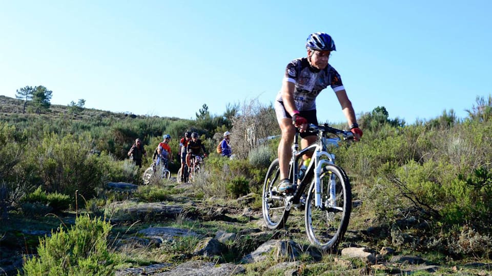
After passing through Vilar Maior and Badamalos and reaching the GRVC, the trail continues along the right banks of the Côa, flanked by green meadows and dotted with large trees. The route crosses the Nave and Vilar Maior streams before taking a pedestrian pontoon across the river Côa. From here it is possible to gain access to the village of Porto de Ovelha, on an unmarked detour (570 m). Following the Porto de Ovelha/Jardo MTB/Equestrian detour. The GRVC continues through pastures and old orchards as far as Sítio do Açude, where it is possible to gain access to the village of Malhada Sorda on an unmarked detour (2.9 km). The pedestrian footpath climbs towards the village of Jardo before descending to the mouth of the Noemi river, where an interesting group of windmills can be seen. Through fields, meadows and cork oak forests, the trail continues along the left bank of the Côa River, crosses the railway line and continues to Porto de S. Miguel. Here, the GRVC crosses the Historical Villages GR (GR22). There is an unmarked alternative trail to the historical village of Castelo Mendo (2.3 km). There is a section that runs along a road, before the detour to the village of Castelo Bom.
The route continues through areas of forests and woods, sometimes closer to the river, sometimes climbing the slope to get over steeper areas, until it reaches the Manuel José pontoon, where it crosses the river Côa. At this point there is an unmarked detour that provides access to the village of Aldeia Nova (3.0 km) and an Equestrian detour that avoids rocky areas (Aldeia Nova Equestrian detour). Once on the right bank of the river, the GRVC continues in the direction of Almeida, running through areas of forest, estates and a reservoir. When it reaches the EN340, the GRVC crosses the Historical Villages GR (GR22). At this point, you can choose to follow the GRVC along the eastern route towards Almeida, or on the western route towards Valverde. The eastern route climbs towards the town of Almeida, passing the Senhor da Barca convent and entering the fortress through the double gates of St. António. From here, Almeida can be accessed from inside the village along an unmarked detour (546 m). The trail follows part of the walls of the Almeida fortress before continuing northwards along Arrabalde de Santo António through the so-called “Lameiros Pardos”, an area of cork oak and holm oak forests. By the Fonte Santa Thermal Complex it is possible to take an unmarked detour to visit the old thermal bathing facilities alongside the river Côa. From here onwards the GRVC continues along the right banks of the river Côa, crossing an extensive area of woods and scattered pastures. At the sight of the first olive trees, the trail draws close to the village of Cinco Vilas, which it crosses before starting to descend along a road towards the river Côa. When it reaches the bottom of the valley, the trail becomes a pedestrian footpath as far as the Velha do Côa bridge, one of the most impressive ruins on the entire route. The GRVC crosses the river at an unattended pontoon (only possible in spring and summer). From this point it is possible to take the unmarked detours to the village of Vale de Madeira and its river beach. The trail climbs the slope towards Pesqueiro, from where it is possible to access the village of Pinhel. Finally, following the Judeu stream and skirting around Barrocal, the trail ends in the village of Quinta Nova, on an unmarked detour (1.8 km).


